Plan Your Hiking Tours to
Mount Ulap
+ A Weekend in Baguio
"Hiking on a shining 🌤 mountain path at twilight to Mount Ulap Summit"
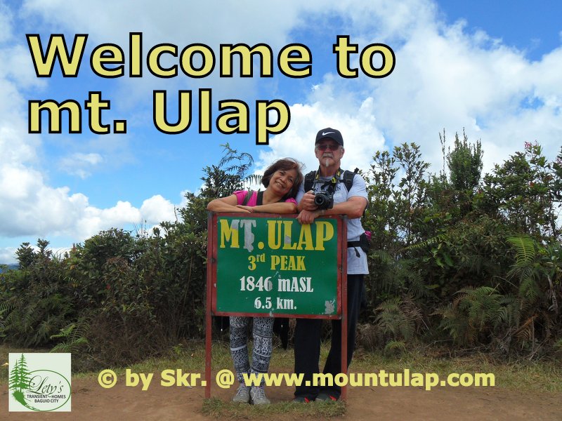
Welcome
to
to my journey
Hiking on a shining 🌤 mountain path at twilight to Mount Ulap Summit
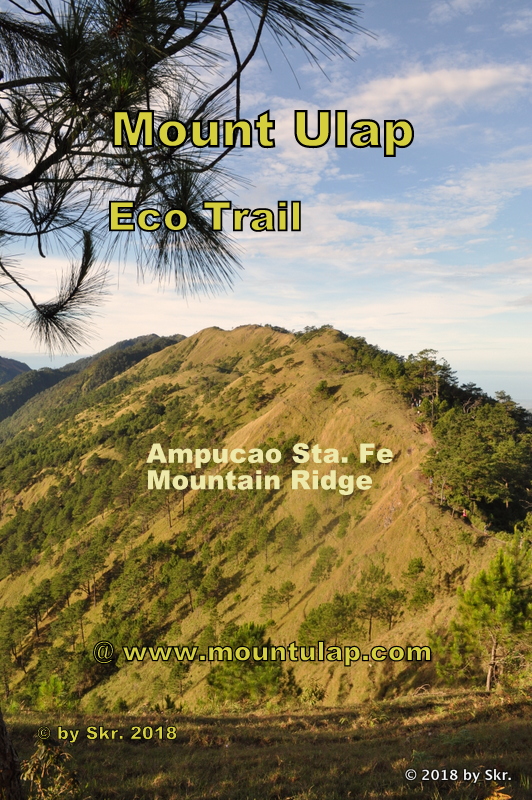
📌 An Eco-Trail day hike on the Ampucao Sta Fe mountain ridge to Mount Ulap Summit at Sunrise, discover and experience the breathtaking live view of the rising sun rising behind a sea of clouds over the Cordillera Mountains before Daybreak passing the Corral mountain rock, and the infamous Gungal Rock mountain outcrop.
📌 Over the past million years, continents have shifted and been enclosed in colossal ice sheets. Glaciers make up about a third of the earth's landmass. Tectonic plates are in motion, volcanoes shift and lift landmasses to form the Cordillera Mountains, and therein lies the Ampukao-Santa Fe Mountains. The first Philippine island likely appeared nearly 60 million years ago.
✅ "To my fellow travelers and hikers."
Northern Luzon in the Philippines is simply the Cordilleras of the Philippines, a massive and majestic mountain range in the north-central part of the island of Luzon in the Philippines.
These mystical mountains, which range from 1400mASL to around 2922 mASL are beloved, worshipped, and feared as equals by those who witness them and those who live among them.
Aside from these mountains, there are rich ethnic cultural attractions and scenic spots such as:
ethnic villages,
hanging coffins,
burial caves,
crystal caves,
rice terraces,
waterfalls,
and the wonderful peoples themselves makes the Cordilleras the ultimate tourist destination in the Philippines.
It's also the birthplace of the Legends, Sagas, and mountain spirits.
I have chosen the Mount Ulap Eco-Trail, which is the nearest to my home town Baguio City, also known as the summer capital of the Philippines
Mt. Ulap is technically the easiest to climb to the Summit. You don’t need ropes or special mountaineering gear, or even any previous mountain climbing experience.
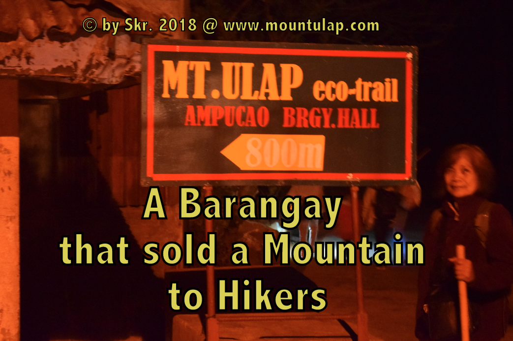
Arrival and Registration
at the
Ampucao Barangay Hall
"Mount Ulap eco-trail a Barangay that sold a Mountain to Hikers "
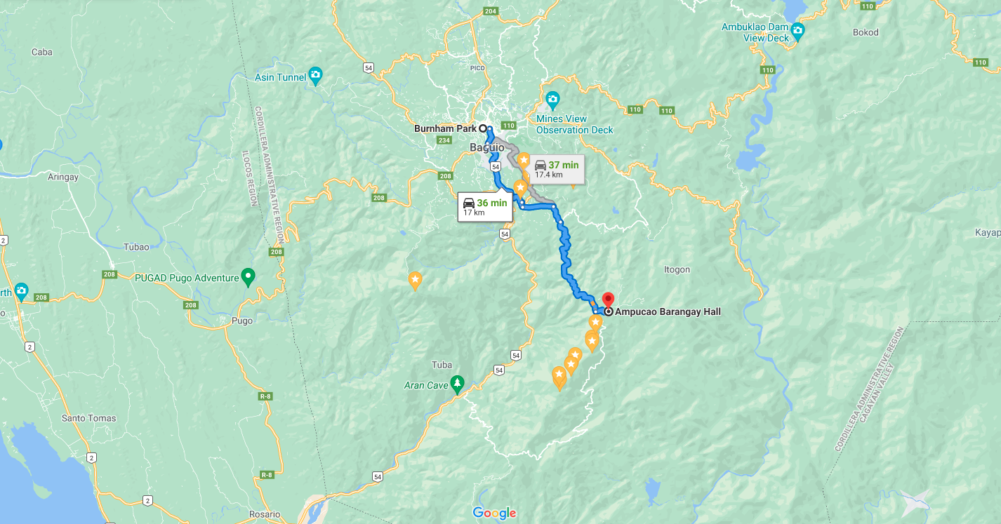
📌 A road map showing the route from Baguio City Burnham Park to Ampucao Barangay Hall ca. 40 min by car.
✅ "So let's do a little calculation to achieve what is our intention."
To witness the rising Sun over the Cordillera Mountains at different locations
Basic Hiking Table
| Sunrise Location Name |
Mountainside | Height in mASL | Distance traveled from start |
Hiking time from start |
|---|---|---|---|---|
| Barangay Hall | Ampucao | 1497mASL | 0.0 meters | 0h - start |
| Totomtombek | 1st Tourist Spot | 1562mASL | 1.0km | 15min |
| Corral Rock | Rock formation | 1603mASL | 2.0km | 1h |
| Ambanaw Paway | 1st Peak | 1788mASL | 3.6 km | 2h |
| Gungal Rock | 2nd Peak | 1814mASL | 5.4 km | 3h |
| Mount Ulap Summit | 3rd Peak | 1864mASL | 6.5 km | 4h |
| Sta. Fe - Philex Road | Exit Point | 1315mASL | 9.4 km | 6h |
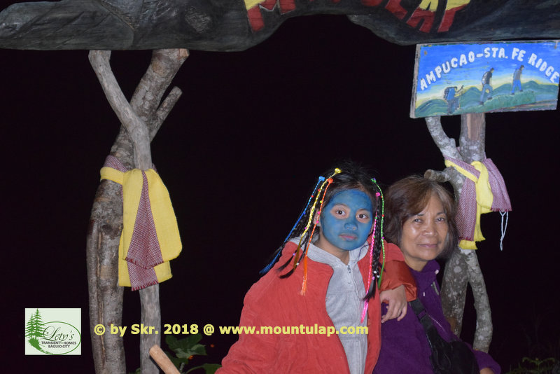
Totomtombek
is the
1st Tourist Spot
" A live view of the Sunrise at dawn on the 1st. Tourist spot"
is possible during the whole year as long as you start early before Sunrise
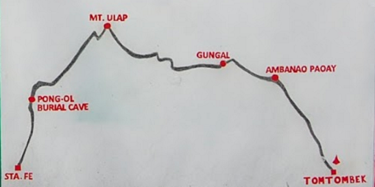
📌 For the next hour's we will be hiking together the Ampucao Sta Fe Mountain Ridges from the Ampucao Barangay Hall until the Sta. Fe Exit point.
✅ The reason that I have listed down the below mentioned BASIC Sunrise TABLE is very simple
Now what you have to do is that you have to find out the "Sunrise for Mount Ulap" in Itogon Benguet for that particular hiking day
Basic Sunrise Table
| Month | Sunrise time | Hiking time to 1st Tourist Spot |
time allowance before Sunrise start |
start Hiking at |
|---|---|---|---|---|
| July | 5:30am | 15min | 15min | 5:00am |
| November | 5:56am | 15min | 15min | 5:30am |
| December | 6:12am | 15min | 15min | 5:30am |
| January | 6:24am | 15min | 15min | 6:00am |
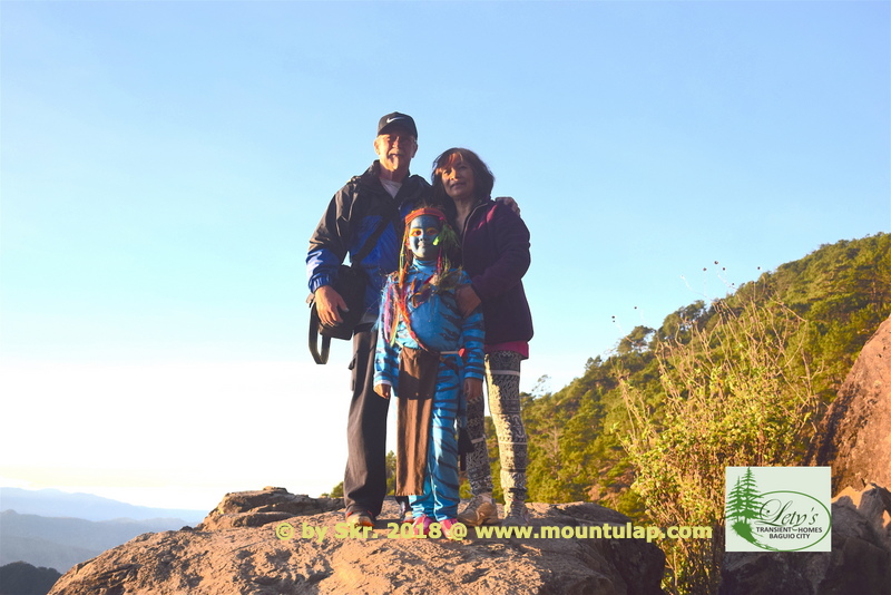
Corral Rock Formation
is the
2nd. Tourist Spot
" A live view of the Sunrise at dawn on the 2nd. Tourist spot"
is only possible from November until March
📌 After arriving at the Corral Rock formation the first resting place, a destination in itself is one exclusive place to captures the Sunrise before dawn. Have a break, relax, open your heart to and let the dreams start to soar
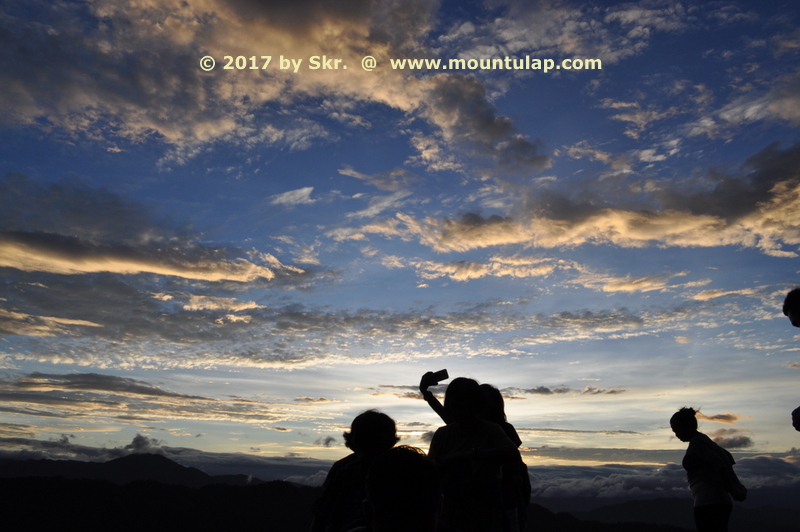
✅ From November to March, in the night and the early morning hours, it's very cold.
Therefore the right clothing shall be with you as protection from the chilly wind.
Basic Sunrise Table
| Month of |
Sunrise time | Hiking time to 2nd Tourist Spot |
time allowance before Sunrise start |
start Hiking at |
|---|---|---|---|---|
| July | 5:30am | 1h | 30min | 4:00am |
| November | 5:56am | 1h | 15min | 4:30am |
| December | 6:12am | 1h | 30min | 5:30am |
| January | 6:24am | 1h | 30min | 5:00am |
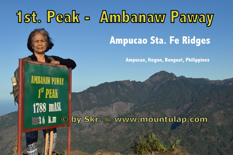
Ambanaw Paway
is the
1st Peak
" A live view of the Sunrise at dawn on the 1st. peak"
is only possible from November until March
📌 The 1st. peak is Ambanaw Paway with 1788mASL, and the hiking distance is 3.6km and 2h hiking time from Ampucao Barangay Hall.

✅ At last Sunrise at dawn over the Cordillera Mountain ranges on a cold Sunday dawn 6:12 am by 14ºC viewed from Ambanaw Paway 1st Peak.
Therefore the right clothing shall be with you as protection from the chilly wind.
Basic Sunrise Table
| Month | Sunrise time | Hiking time to 1st peak |
time allowance before Sunrise start |
start Hiking at |
|---|---|---|---|---|
| July | 5:30am | 2h | 30min | 3:00am |
| November | 5:56am | 2h | 15min | 3:30am |
| December | 6:12am | 2h | 30min | 4:30am |
| January | 6:24am | 2h | 30min | 4:00am |
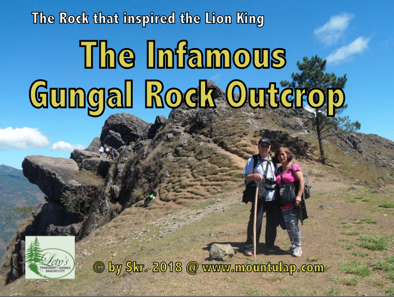
Gungal Rock
is the
2nd Peak
" A live view of the Sunrise at dawn on the 2nd. peak"
is only possible from December and January
📌 The mountain path, which led through a pine forest during lunchtime, casts its shadows on the two resting senior citizens
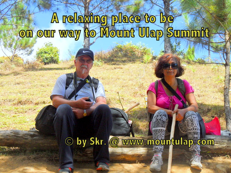
✅ During perfect environmental weather conditions on a starry starry night, you can see part of Pangasinan in a glooming Landscape.
Basic Sunrise Table
| Month | Sunrise time | Hiking time to 2nd peak |
time allowance before Sunrise start |
start Hiking at |
|---|---|---|---|---|
| July | 5:30am | 3h | 30min | 2:00am |
| November | 5:56am | 3h | 30min | 2:30am |
| December | 6:12am | 3h | 30min | 3:00am |
| January | 6:24am | 3h | 30min | 3:00am |
Mount Ulap - Summit
is the
3rd Peak
" A live view of the Sunrise at dawn on the 3rd. peak"
is not possible unless you spend overnight on the
Camping site "2".
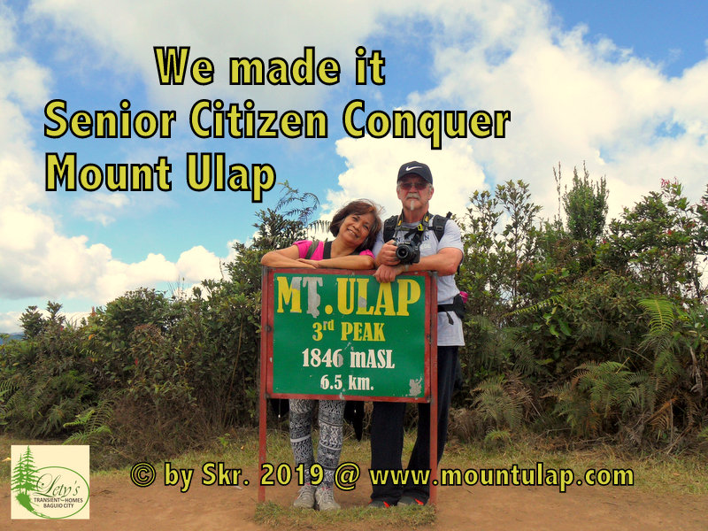
📌 Mount Ulap Summit is the ultimate goal to achieve.
Remember ascending to the Summit is voluntary, descending from the Summit is mandatory.
Sat. Fe
is the
Exit Point
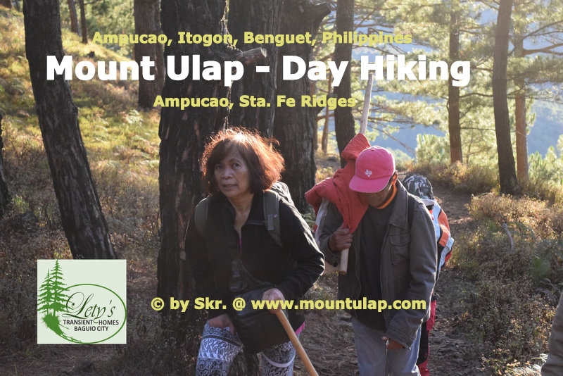
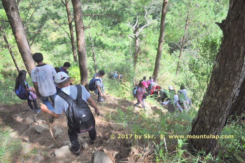
From Mount Ulap Summit a 2h descending path through lush green Pinewood forest is mandatory to reach Santa. Fe Exit Point.
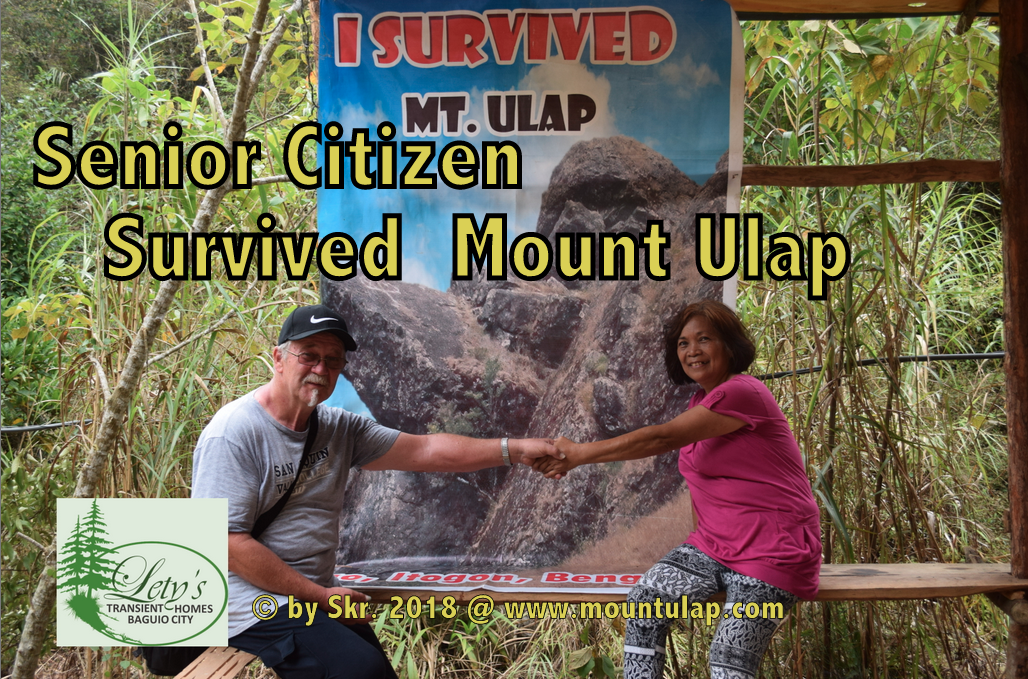
📌 Finally, we make it, arriving at the Exit Point in Sta. Fe after a 9.4km fascinating Day Hiking Tour on Mount Ulap Eco-Trail across the Ampucao Sta. Fe Mountain Ridge.
🚩
* hiking time: min-4h, max-8h
depending on your hiking speed
* distance from the starting point: 9.4km
* Sta. Fe exit, elevation of: 1,296 m (4252 ft) above sea level.
✅ Experience the breathtaking live view of the rising Sun over the Cordillera Mountains during Daybreak. From an engrossing sunrise to a thrilling sunset, from a rain-soaked to a mist saturate Day Hike whatever was your experience all of this Mount Ulap Eco-Trail has it.
At last but not least, going back to your home destination taken with you the Adventurist experience and the fascinating natural and cultural history visiting some of the most interesting historical sites, enjoy the invigoration that results from hiking with a local expert.
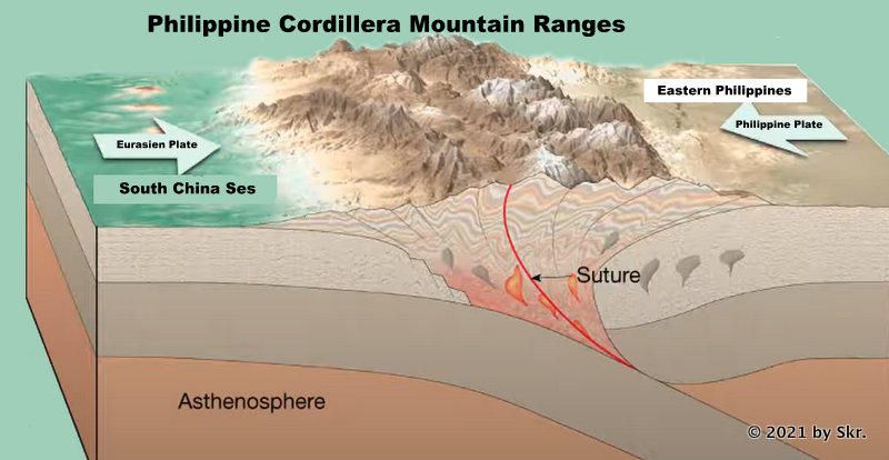
Evolution
of the
Cordillera Mountain Ranges
What type of mountain is Mt Ulap?
📌 Mount Ulap Evolution & History:
Over the past million years, continents have shifted and were enclosed in colossal ice sheets. Glaciers make up about a third of the earth's landmass. Tectonic plates are in motion, volcanoes shift and lift landmasses to form the Cordillera Mountains, and therein lies the Ampukao-Santa Fe Mountains. The first Philippine island likely appeared nearly 60 million years ago.
The Cordillera Mountains are not where archaeologists find ancient graves or hidden treasures nor the destination for dinosaur fossils or remains of other species that we have not seen for millions of years.
In other words, there were no dinosaurs in the Philippines because, in the first place, there was no Philippines during the time of the dinosaurs. The Philippines came into existence as an archipelago about 50 million years ago, during the Pleistocene Epoch. The first Philippine island likely surfaced nearly 60 million years ago – about five million years after the last of the dinosaurs died out.
✅ For more information,
visit 👉 👉 Mount Ulap - Encyclopedia
Transient House
near
Mount Ulap
Affordable & Budget-Friendly Accommodation
in Baguio City
near PMA, Loakan Baguio Airport,
Camp John Hay, Mt. Ulap
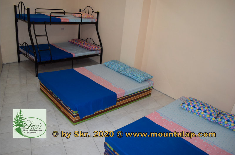
📌 After a day of exploring 🚶the Eco-Trail, what better way to reward yourself than by relaxing at a cozy Transient House
✅ Lety's ❌ Transient House near Mt. Ulap is the perfect place for families and groups of up to 40 guests.
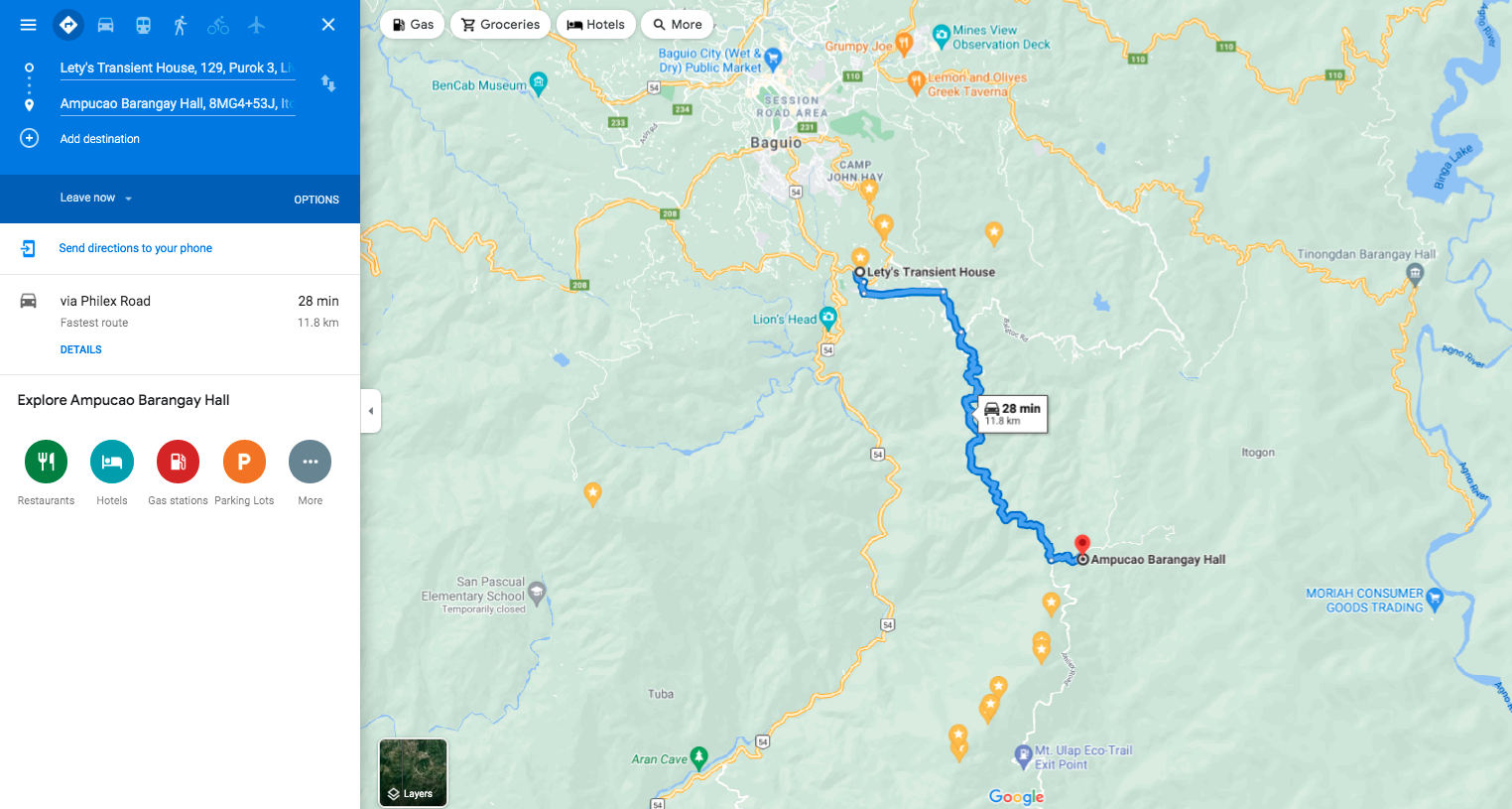
🚩 Lety's ❌ Transient Homes in Baguio is a 28-minute drive from your destination, Mount Ulap Eco-Trail, and proudly calls itself a friend of the Eco-Trail.
