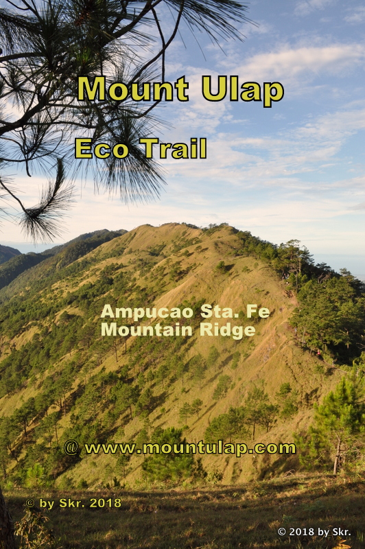
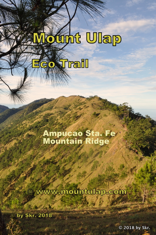
Eco Trail
a mountain hiking trail
Mount Ulap, Tourist Spots
The Mount Ulap Eco-Trail ❌ is a 9.4 km long, point-to-point mountain hiking trail , tourist attraction and landmark just 40 minutes from Baguio City
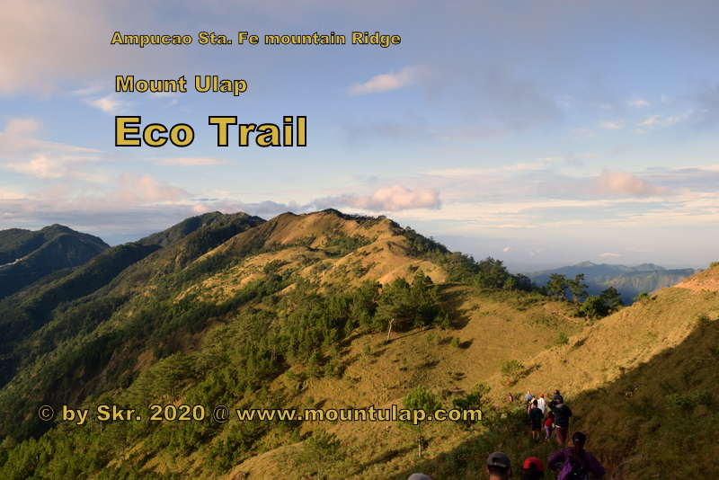
Eco-Trail
a
day hike to Mount Ulap Summit
A well-known Landmark and Tourist attraction in Ampucao, Itogon, Benguet.
✅ Whatever you are looking for, the Eco-Trail, is technically the easiest to climb to the Summit. You don’t need ropes or special mountaineering gear, or even any previous mountain climbing experience.
📌 Mt. Ulap Eco-Trail, is a unique day hiking trip for those who are looking to experience & Adventure the Cordillera Region Mountains.

Arrival at Ampucao, Itogon Benguet
from
Baguio City
Registration at Ampucao Barangay Hall
✅ Hiking Time & Distance
* hiking time: 0.0min
* distance: 0.0km
* elevation of: 1497 masl
📌 Ampucao, a small village in Itogon, Benguet, is nestled high up in the Cordillera Mountains of the Philippines, just 38km from Baguio City, the summer capital of the Philippines.
🚩 Please note that your arrival time at a specific destination depends on your walking speed.

Totomtombek
Tourist Spot & Landmark
✅ Hiking Time & Distance
* hiking time: 15min
* distance: 0.8km
* elevation of: 1,553 mASL
📌 We are still at the foothills of Mount Ulap Eco-Trail, and just a few minutes into the hiking path. Totomtombek is reached, and the first opportunity of a photo-taking souvenir is given.

Corral Rock outcrop
Tourist Spot & Landmark
✅ Hiking Time & Distance
* hiking time: 1h
* distance: 2.6km
* elevation: 1,635 mASL
📌 If you're coming to Corral rock and looking for a Sunrise scenario at early dawn, you are here right the location offers a fantastic day hike experience a breathtaking live view of the rising Sun over the Cordillera Mountains.
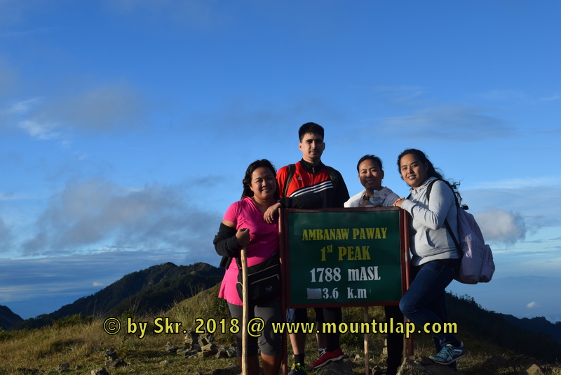
Ambanaw-Paoay Peak
Tourist Spot & Landmark
✅ Hiking Time & Distance
* hiking time: 2.0h
* distance: 3.6km
* elevation of: 1,788 mASL
📌 Arriving on the highest spot on the Ambanaw Paoay 1st. Peak, you have a 360degr. around view of the Cordillera Mountain ranges on one side, you can see Mt. Arayat, Mt. Ugo, and Mt. Pulag along the horizon and with the Agno River up to the Pangasinan area
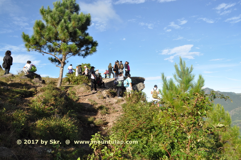
The Plateau
Tourist Spot & Landmark
✅ Hiking Time & Distance
* hiking time: 2h 30min
* distance: 4.5km
* elevation of: 1,724 mASL
📌 The Plateau is an exposed mountain rock. Due to the deserted and deferred rock location, you have a very clear view of the mountain city of Baguio both during the day and at night. Which is also known as the summer capital of the Philippines.
Schauinsland Rock
Tourist Spot & Landmark
✅ Hiking Time & Distance
* hiking time: 2h 45min
* distance: 5.0km
* elevation of: 1,748 mASL
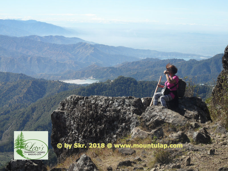
📌 The Schauinsland Rock outcrop (literally "look-into-the-country";
As the name says, here you have a 180-degree panorama view of the Cordillera Mountain Ranges as well you can see Pangasinan and the Lingayen Gulf.
Gungal Rock
Tourist Spot & Landmark
✅ Hiking Time & Distance
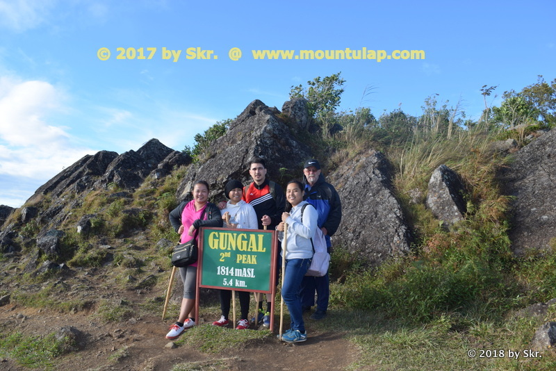
* hiking time: 3h
* distance: 5.4km
* elevation of: 1,814 mASL
📌 Gungal Rock is the most popular hiking destination on the Mount Ulap Eco-Trail, way to Mount Ulap Summit. Peoples come from far and wide many first-time travelers 🚶 visit the iconic Gungal Rock. is formation during their hiking tour on the Ampucao Sta. Fe Mountain Range.
Mount Ulap Summit
Tourist Spot & Landmark
✅ Time, Distance & Elevation
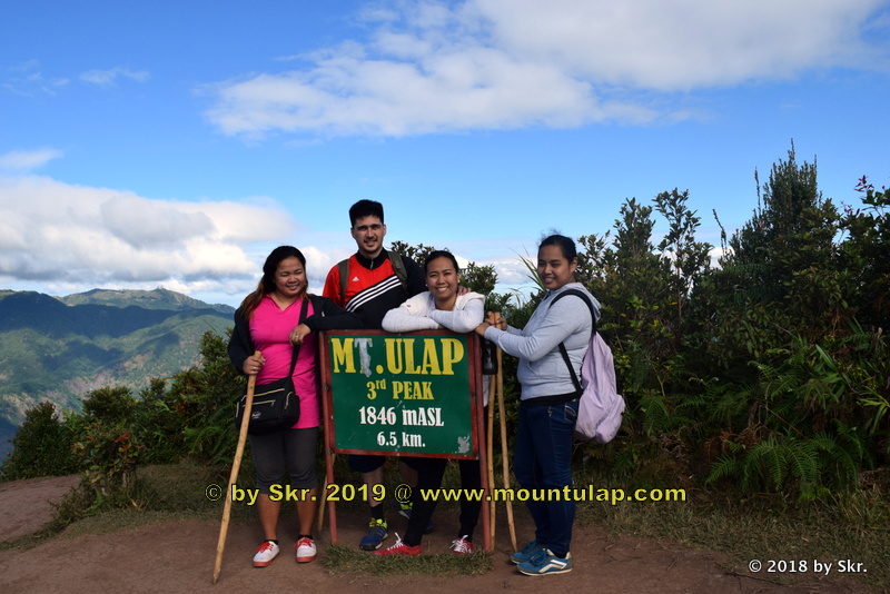
* hiking time: 4.0h
* distance: 6.5km
* elevation of: 1,846 mASL
📌 Conquering Mount Ulap Summit and hiking the Eco-Trail is not an insurmountable hiking path that was already proven by Senior citizens as well as young children.
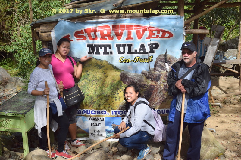
Sta. Fe - Exit Point
Tourist Spot & Landmark
✅ Time, Distance & Elevation
* hiking time: 6.0h
* distance: 9.4km
* elevation of: 1277 masl
📌 Experience the breathtaking live view of the rising Sun over the Cordillera Mountains during Daybreak. From an engrossing sunrise scenario to a thrilling sunset, from a rain-soaked to a mist saturate day hike whatever was your experience all of this Mount Ulap Eco-Trail, has it.
🚩 Finally, we make it.
At last but not least, going back to your home destination taken with you the Adventurist experience and the fascinating natural and cultural history visiting some of the most interesting historical sites, enjoy the invigoration that results from hiking with a local expert.
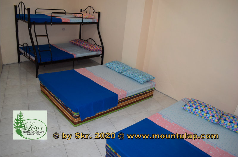
Transient House
near
Mount Ulap
Affordable & Budget-Friendly Accommodation
in Baguio City
near PMA, Loakan Baguio Airport,
Camp John Hay, Mt. Ulap
📌 After a day of exploring 🚶the Eco-Trail, what better way to reward yourself than by relaxing at a cozy Transient House
✅
🚩 Lety's ❌ Transient House near Mt. Ulap is the perfect place for families and groups of up to 40 guests.
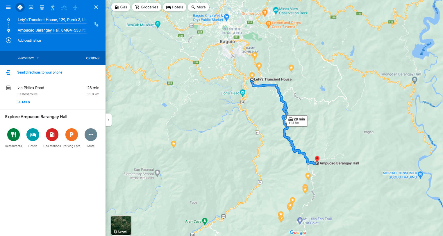
🚩 Lety's ❌ Transient Homes in Baguio is a 28-minute drive from your destination, Mount Ulap Eco-Trail, and proudly calls itself a friend of the Eco-Trail.
